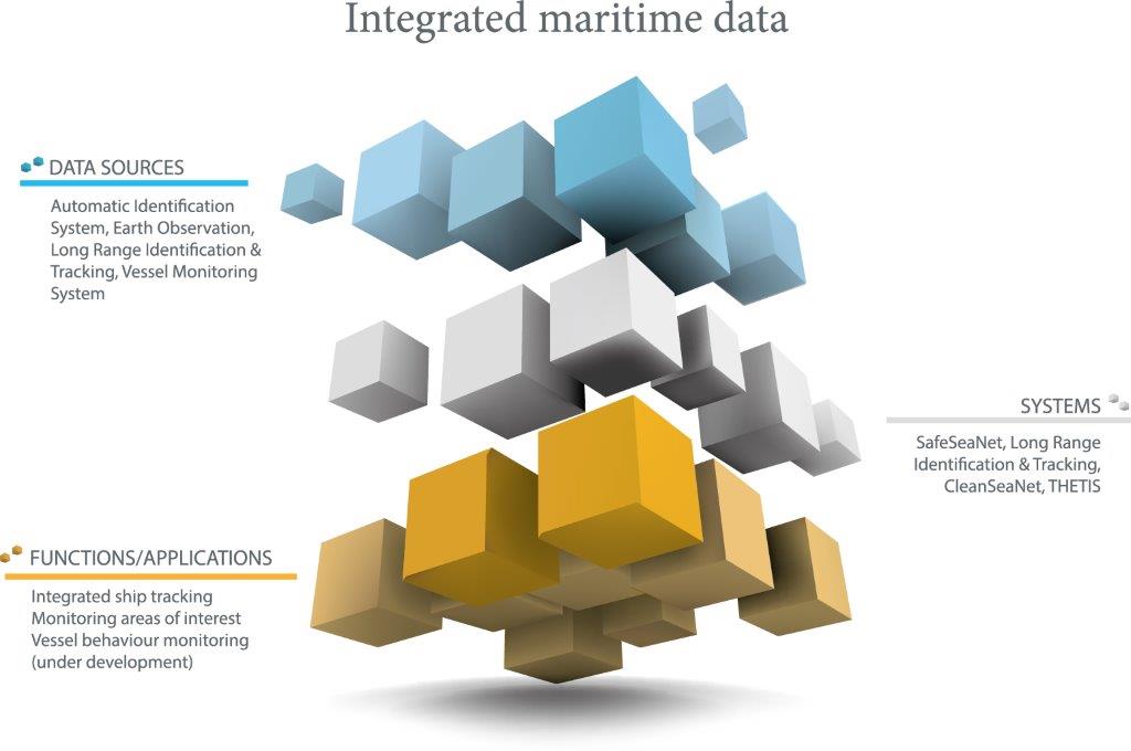
Data sources
One of the main attributes of integrated maritime services is the ability to combine information from a range of different data sources, and as such greatly enrich the maritime domain awareness picture.
These include data and operational functionalities directly contracted by EMSA:
• Automatic identification system (AIS)
AIS is a maritime broadcast system, based on the transmission of very high frequency radio signals. Ships send reports with ship identification, position, and course, as well as information on cargo. In Europe, the exchange of AIS messages is done through the SafeSeaNet system.
• Long range identification and tracking
LRIT is a global ship identification and tracking system based on communications satellites. Under IMO regulations, passenger ships, cargo ships (300 gross tonnage and above), and mobile offshore drilling units on international voyages send mandatory position reports once every six hours.
• Additional ship and voyage information
Member States also exchange a range of additional data through the SafeSeaNet system, including: port notifications (e.g. arrival and departure times), Hazmat notifications (carriage of dangerous and polluting goods), ship notifications (additional information sent in mandatory reporting areas), and incident reports (e.g. pollution reports).
• Satellite AIS
New systems are being developed to enable satellites to receive AIS position messages. This extends the geographical range over which ships can be tracked using the AIS system.
• Synthetic aperture radar satellite images
Satellite radar sensors measure the roughness of the sea surface independent of weather and sunlight conditions. On the satellite image, oil spills appear as dark areas, and vessels and platforms as bright spots. This is used in vessel detection systems (VDS) as well as pollution monitoring.
• Optical satellite images
Earth observation imagery from satellite sensors operating in the optical spectrum, providing high resolution images of vessels or coastal areas.
• Meteorological-oceanographic data
This is under development and will include a range of fields: wind speed and direction, wave height and direction, wave period, etc.
Other data sources from national systems can also be integrated:
• Vessel monitoring system (VMS)
VMS uses communications satellites for tracking commercial fishing vessels. Vessels are equipped with on-board transceiver units which transmit messages every two hours.
• Coastal radar
Member State vessel traffic services constantly track vessels movements along their coastline with the aid of local radar.
• User specific data
EMSA can also process other varied forms of national data provided by users. This includes encrypted position reports from patrolling vessels, position reports from leisure crafts, and additional meteorological-oceanographic data provided by buoys.
Relevant Publications - Digitalisation
